Image Credit: Mila Supinskaya Glashchenko/Shutterstock.com
A new research project, conducted at Aarhus University (AU) in association with the Technical University of Denmark (DTU), aims to make the process of quantifying and documenting limestone and gravel quarries in a relatively easier, cheaper, and faster way in the days to come.
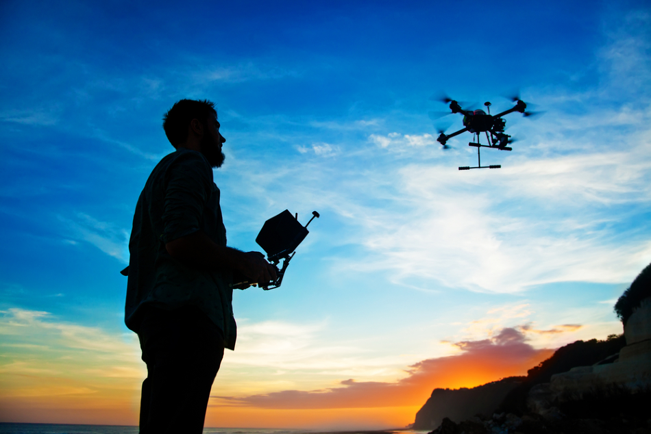
This latest project has enabled artificial intelligence to take control of the human-controlled drones for the process.
We’ve made the entire process completely automatic. We tell the drone where to start, and the width of the wall or rock face we want to photograph, and then it flies zig-zag all the way along and lands automatically.
Erdal Kayacan, Associate Professor, Department of Engineering, Aarhus University
Kayacan is an expert in drones and artificial intelligence.
Cliff faces, limestone and gravel quarries, and analogous human-made and natural formations are usually measured and recorded using drones that take photographic images of the area. All the recordings are subsequently uploaded to a PC that automatically changes everything into a three-dimensional (3D) terrain model.
But drone pilots are expensive, and the measurements require a considerable amount of time. The reason being, the drones had to be manually managed to maintain the same continuous distance to an excavation wall and, at the same time, keep the drone camera vertical to the excavation wall.
Moreover, there should be a particular overlap in the captured images, which would allow the computer to subsequently sew the images together into a massive 3D figure.
At the Department of Engineering at Aarhus University, scientists have now used artificial intelligence to automate this process.
“Our algorithm ensures that the drone always keeps the same distance to the wall and that the camera constantly repositions itself perpendicular to the wall. At the same time, our algorithm predicts the wind forces acting on the drone body,” added Erdal Kayacan.
This implies that the researchers have been able to offset one of the main problems related to drone flight—that is, the wind.
The designed Gaussian process model also predicts the wind to be encountered in the near future. This implies that the drone can get ready and take the corrective actions beforehand.
Mohit Mehndiratta, Visiting PhD Student, Department of Engineering, Aarhus University
These days, a drone can be blown off course by a light breeze. But using Gaussian processes, the researchers have taken gusts and the overall speed of the wind into consideration.
The drone doesn’t actually measure the wind, it estimates the wind on the basis of input it receives as it moves. This means that the drone responds to the force of the wind, just like when we human beings correct our movements when we are exposed to a strong wind.
Erdal Kayacan, Associate Professor, Department of Engineering, Aarhus University
The study was jointly conducted with the Technology Centre at DTU and the Danish Hydrocarbon Research. The team will present the project results at the European Control Conference in May 2020.