Apr 13 2017
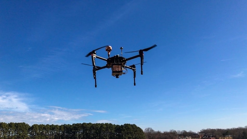 The Corning microHSI 410-SHARK hyperspectral camera coupled with PrecisionHawk's platform for collection and analysis of drone data is capable of on-board processing which produces calibrated, geo-referenced hyper-cubes post flight. Credit: PrecisionHawk
On Apr 12, 2017, PrecisionHawk, a provider of enhanced commercial drone technologies, announced that it will work in partnership with Corning Incorporated in order to sell the Corning® microHSI™ 410-SHARK hyperspectral camera merged with PrecisionHawk's platform for drone data collection and analysis. The sensor can perform on-board processing which develops calibrated, geo-referenced hyper-cubes post flight.
These low-altitude remote sensing capabilities have showcased the immense research potential that makes room for the development of new spectral libraries capable of generating extremely customized applications across enterprise verticals including energy, construction, mining, agriculture, and insurance industries.
Historically, low-altitude data collection using hyperspectral sensors has been very difficult to achieve due to operational complexities. Due to the integration between Corning's revolutionary sensors and PrecisionHawk's drone and data suite, it's now possible for novice users to properly and effectively collect high-resolution hyperspectral data.
Richard Zacaroli, commercial business development manager, Hyperspectral Imaging Products, Corning Incorporated
The microHSI™ 410-SHARK visible to near-infrared (VNIR) hyperspectral imager is provided with a spectral range of 400-1,000 nm and 154 spectral bands.
It is possible to mount the sensor on several of PrecisionHawk's drone platforms for collecting data in a simple manner, and this sensor can be purchased starting at $7,100.
Hyperspectral imagery is a tremendously rich dataset that helps researchers pick up vital information over a detailed spectrum for analysis. With Corning's 154-band hyperspectral product, researchers can obtain and create a wide variety of spectral maps to hone in on specific problems the customer is trying to solve that would otherwise not be identifiable with visual or multispectral sensors.
Thomas Haun, senior vice president of Partnerships at PrecisionHawk
This new sensor is now part of PrecisionHawk's robust sensor line and will be provided as an optional add-on to drone data packages featuring DJI'S M600 and M100, which are incorporated with PrecisionHawk's flight planning, analysis and processing tools. At low altitudes, data obtained through the microHSI™ 410-SHARK produces high-resolution maps not available through standard collection methodologies.
The combined offering of PrecisionHawk and Corning puts the power of improved science into a cost-effective and high- performance package capable of driving the future of commercial drones.