As a surveyor, UAV systems, or unmanned aerial vehicle systems, are an easy add-on to your current offerings, allowing you to expand your business without having to add to your team.
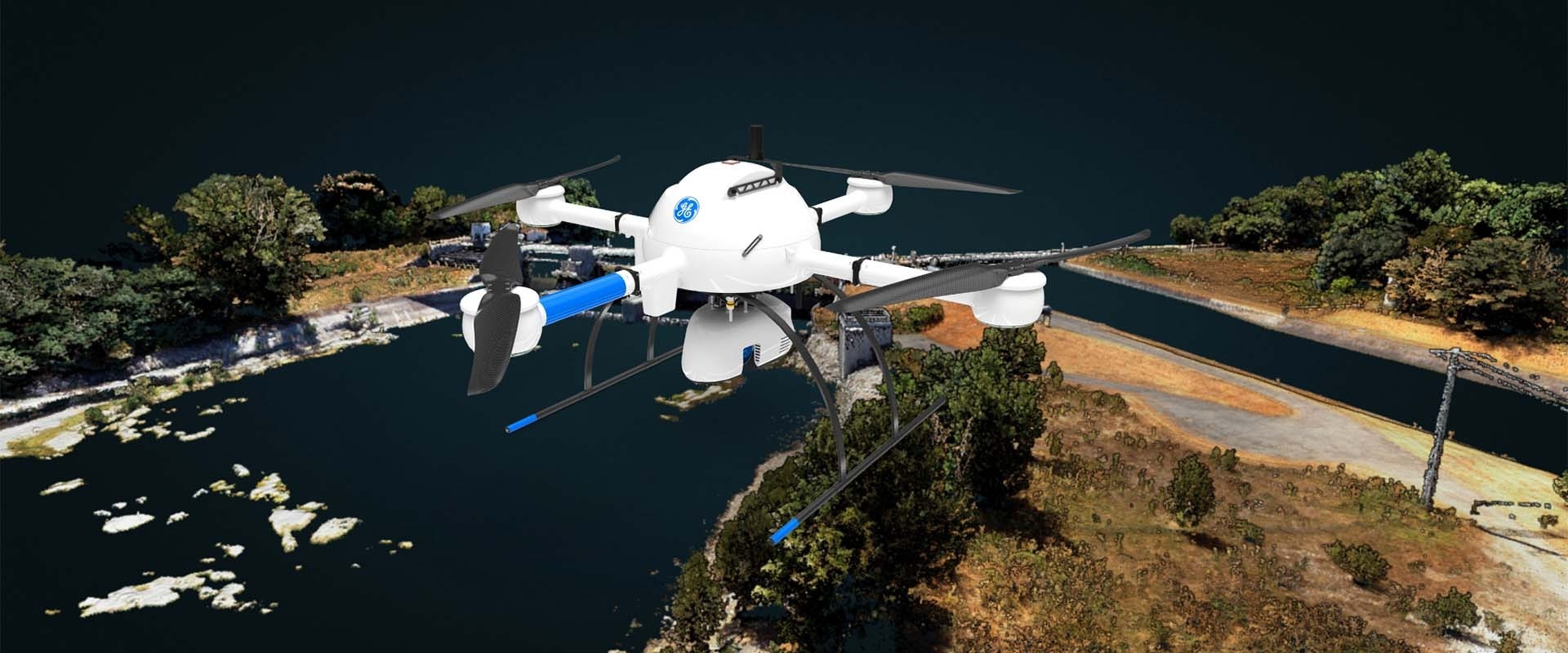
Image Credit: Duncan Parnell
For effective aerial surveying though, having the right equipment is a must, and not all UAVs are created equally. For the applications land surveyors use drones for, it's about total UAV systems complete with drone surveying equipment, software, workflow, training and support. Intuitive and integrated systems that are easy to use ensures that you’re able to seamlessly add aerial surveying to your workflows and get off the ground immediately.
You already trust Duncan-Parnell with your surveying needs and now we’ve partnered with leading manufacturers to provide you with an easy and comprehensive way to introduce aerial surveying into your workflows. We offer industry-leading UAV systems, designed with surveying workflows in mind, along with the payloads, software, accessories and support you need to succeed in the field.
Applications for Professional Drones:
- Corridor mapping
- Contour mapping
- Digital Twin Creation and Maintenance
- Forestry
- Highway construction
- Construction site monitoring
- Leveling/Excavation
- Environmental changes and more
The Benefits of LiDAR for Surveying
There are several benefits of using LiDAR for surveying. These include that LiDAR technology and LiDAR systems take instantaneous measurements. Mobile LiDAR systems are also extremely accurate, with some models of drones accurate down to the centimeter.
A LiDAR scan works like radar and uses remote sensing methods for field data collection. To gather data, the drone emits infrared light pulses and waves, then waits for them to reflect back. The time it takes to get a response is translated into measurements, letting the drone carefully calculate the exact measurement of the object.
LiDAR can collect millions of precise measurement points per second. After doing this, it comes up with a 3D matrix that can be used by the team to work on mapping.
Why Use Drones for Surveying?
- It is unaffected by ambient light, since it sends out laser pulses.
- Drones work quickly, producing distance measurements using the speed of light.
- They produce data that converts easily into a digital elevation model or other 3D mapping models.
- It allows you to spend less time in the field collecting data.
- Stand out among competitors and keep up with customers’ needs.
- You can safely survey challenging terrain, crumbling structures, high locations and areas affected by natural disasters.
- Keep worksites going. No need to stop operations and shutdown equipment to collect data.
- Increase the number of services and deliverables you can provide to your clients.
- Slash post-processing times. Comprehensive software allows you to post-process data in a fraction of the time.
Different Drones for Surveying
There are different kinds of drones to use for surveying, depending on the project. The two most common types are fixed-wing drones, which fly like airplanes, and multirotor drones, which work like helicopters.
For the most part, people commonly use fixed-wing models when they need longer flight times over larger areas. Comparatively, the multi-rotor drones cannot stay in the air as long and are able to cover less space over the same time. Thinking of the models as airplanes and helicopters, airplanes cover longer distances, but helicopters have excellent vertical accuracy. The same is true of fixed-wing and multi-rotor drones.
For example, at Duncan-Parnell, we carry the MDLIDAR1000LR, which uses long-range LiDAR with a 26 MP camera. This is a multi-rotor model capable of producing geospatial data collection. Another model we carry, the Trinity F90+, can be outfitted with a LiDAR scanner. The fixed-wing drone has an extended flight time of up to 90 minutes and good vertical accuracy, which is unique among competitors. Normally, it uses eVTOL mapping, but when outfitted with the Quantum-Systems Qube 240 Payload, it scans with LiDAR accuracy as well.