Internal Movement Tracking
Reading the World Outside
Merging Clues with Probability and Maps
Where Localization Still Faces Challenges?
Conclusion
References and Further Reading
Every mobile robot, whether it's a warehouse cart or a rover on another planet, constantly needs to answer one crucial question: "Where am I?" This challenge, known as localization, is important for safe movement, navigation, obstacle avoidance, and robot control. Different environments, such as factories, hospitals, and farms, have varying requirements for accuracy and cost.
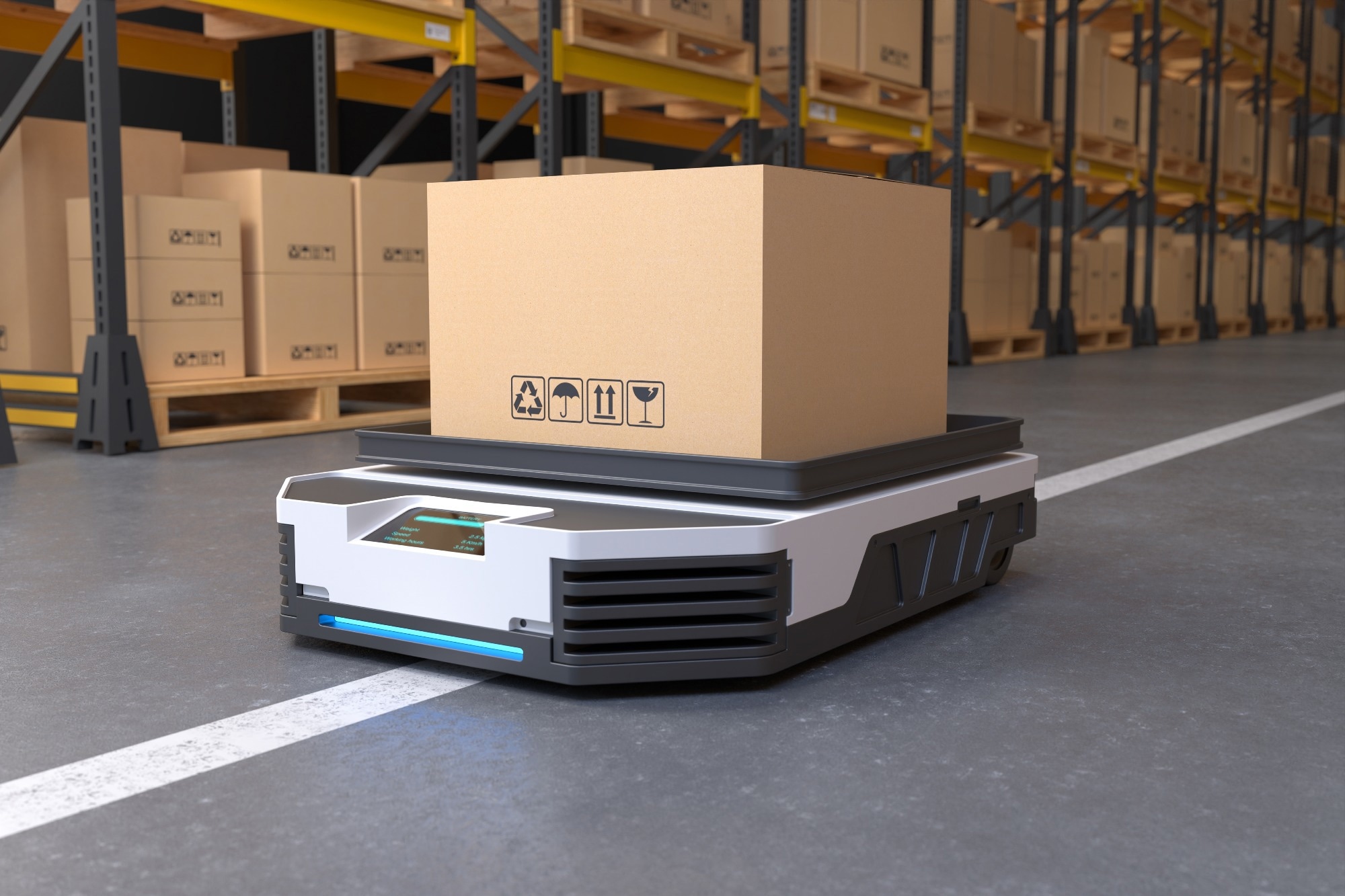 Image Credit: Es sarawuth/Shutterstock
For example, indoor robots often need position estimates good to a few decimeters, and satellite signals cannot reach them through walls and roofs. As a result, no single sensor solves the problem everywhere. This article breaks down how robots determine their location and explores the main concepts behind it. It also discusses different scenarios that pose challenges to these strategies.1
Internal Movement Tracking
The simplest way for a robot to track itself is to count its own movement. Wheel encoders record how far each wheel has turned, along with the wheel radius and the spacing between wheels. Simple geometry converts those counts into a new position and heading. This method requires no external references and minimal onboard computation, which is why nearly every wheeled robot employs some version of it continuously.1
However, this approach has inherent weaknesses related to error accumulation. An inaccurately measured wheel diameter, variations between wheel sizes, or tire slippage on a dusty surface can introduce small errors into each update. Each time the robot calculates its position, it builds on its last estimate, causing errors to compound as it moves. Over long distances, this can cause the robot to be confidently wrong about its location.1,2
To improve accuracy, robots also use inertial measurement units. These include gyroscopes to measure how fast they are turning and accelerometers to track changes in speed. By combining these readings, robots can determine their orientation and movement over time. These sensors are quick and can work with wheels, legs, or propellers. But these units also have small errors that accumulate over time. Therefore, engineers treat inertial and wheel data as short-term guides that require regular correction from a reference outside the robot.2,3
Reading the World Outside
The correction usually comes from sensing the environment. Light Detection and Ranging (LiDAR) sensors fire laser pulses and time their return, using the constant speed of light to compute distances. Repeated across many angles, these measurements form a point cloud, a dense 3D sketch of nearby walls, shelves, people, and trees. Since LiDAR generates its own illumination, it can operate effectively in complete darkness, which is a significant reason for its prominence in contemporary robot navigation.2
Robots turn point clouds into motion estimates through scan matching. An algorithm called Iterative Closest Point (ICP) repeatedly pairs points from two consecutive scans and shifts one scan until the distances between the pairs are minimized. The required shift corresponds to the robot's movement between scans. Newer methods also match each fresh scan against a growing map built from many earlier scans, which limits the slow buildup of error over long distances.2
Cameras offer a more affordable and lightweight alternative. Visual systems detect distinctive points, such as corners and textured patches, and then track them from frame to frame to infer how the camera itself moved. A single camera cannot measure depth directly, so many robots use stereo pairs or depth cameras that report distance for each pixel. Cameras also capture color and texture, which helps in spaces where geometry alone looks repetitive.4
Merging Clues with Probability and Maps
Robots gather information from multiple sensors and blend it using probabilistic methods, as no single sensor is infallible. A Kalman filter alternates between two repeating steps. First, it predicts the robot's new position using its motion model and increases its uncertainty. Then it compares that prediction with fresh sensor readings and reduces the uncertainty based on the trustworthiness of each reading. This cycle produces a statistically weighted estimate that is more stable than any single sensor input.3
Kalman filters assume that the robot's belief about its position has a single peak, which becomes problematic when the robot lacks information about its starting point. Particle filters handle this case by scattering thousands of hypothetical positions across a known map. Each hypothesis gains or loses weight as sensor readings arrive, and unlikely ones are discarded. After enough movement, the surviving particles cluster tightly around the true location, a method known as Monte Carlo localization.3
In cases where no map is available, simultaneous localization and mapping (SLAM) addresses this intrinsic challenge. Generating an accurate map requires a known position, whereas a precise position relies on a map. SLAM builds both elements together. When the robot recognizes a place it visited earlier, a step called loop closure, the software adjusts the entire trajectory and map at once, removing much of the drift that crept in along the way.4
Where Localization Still Faces Challenges?
These techniques work well in varied surroundings but struggle in uniform ones. Long corridors, tunnels, and rows of identical warehouse racks produce sensor readings that look the same at many points, confusing the robot about its position. Similarly, plain walls and empty halls offer too few landmarks for matching. Tests in symmetrical indoor areas show that using a mix of methods works better than using each method alone.3
Saving this for later? Download a PDF here.
Physical conditions add further trouble. Rain, snow, fog, and dust can scatter laser signals, while glass windows can reflect or transmit them unpredictably. Low light or changing light can also confuse regular cameras. To address these issues, researchers combine LiDAR with inertial sensors, thermal cameras, or radar. Moreover, learning-based methods are used to recognize places even when conditions change. Each added sensor requires calibration and syncing, requiring designers to choose the right sensor setup based on the task and budget.2
Conclusion
Robots locate themselves through several layers of complementary reasoning. Wheels and inertial sensors track motion moment-to-moment, while LiDAR and cameras anchor that motion to the outside world. Probabilistic filters and SLAM merge these inputs into a single combined estimate with a measured confidence level. Each layer compensates for the weaknesses of the others, which is why robots use various sensors and algorithms to achieve accurate positioning.
The central lesson is that a robot always has some uncertainty about its location. It minimizes this uncertainty by measuring it, comparing evidence, and correcting itself whenever the world offers a recognizable clue. Repetitive buildings and harsh weather still test that process. However, as sensors become more affordable and advanced and fusion techniques improve, robots will gain a more accurate understanding of their surroundings across a wider range of human-used environments.
References and Further Reading
- Stefanoni, M. et al. (2025). A Survey on the Main Techniques Adopted in Indoor and Outdoor Localization. Electronics, 14(10), 2069. DOI:10.3390/electronics14102069. https://www.mdpi.com/2079-9292/14/10/2069
- Lee, D. et al. (2024). LiDAR odometry survey: recent advancements and remaining challenges. Intel Serv Robotics 17, 95–118. DOI:10.1007/s11370-024-00515-8. https://link.springer.com/article/10.1007/s11370-024-00515-8
- Melvin, S. A. et al. (2026). Global localization for mobile robots in symmetrical indoor environments: a review, practical challenges, and experimental validation. Robotica. 44(1):343-385. DOI:10.1017/S0263574725102518. https://www.cambridge.org/core/journals/robotica/article/global-localization-for-mobile-robots-in-symmetrical-indoor-environments-a-review-practical-challenges-and-experimental-validation/EDDB5FF92036F872E6E836B38D9AE6DE
- Al-Tawil, B. et al. (2024). A review of visual SLAM for robotics: Evolution, properties, and future applications. Frontiers in Robotics and AI, 11, 1347985. DOI:10.3389/frobt.2024.1347985. https://www.frontiersin.org/journals/robotics-and-ai/articles/10.3389/frobt.2024.1347985/full
Disclaimer: The views expressed here are those of the author expressed in their private capacity and do not necessarily represent the views of AZoM.com Limited T/A AZoNetwork the owner and operator of this website. This disclaimer forms part of the Terms and conditions of use of this website.