*Important notice: This news reports on an unedited version of an accepted paper and is awaiting final editing. Therefore, the paper should not be regarded as conclusive or treated as established information.
Using an explainable artificial intelligence (AI) framework that combines extreme gradient boosting (XGBoost) and Shapley additive explanation (SHAP), researchers mapped wildfire susceptibility across Antalya province, Türkiye.
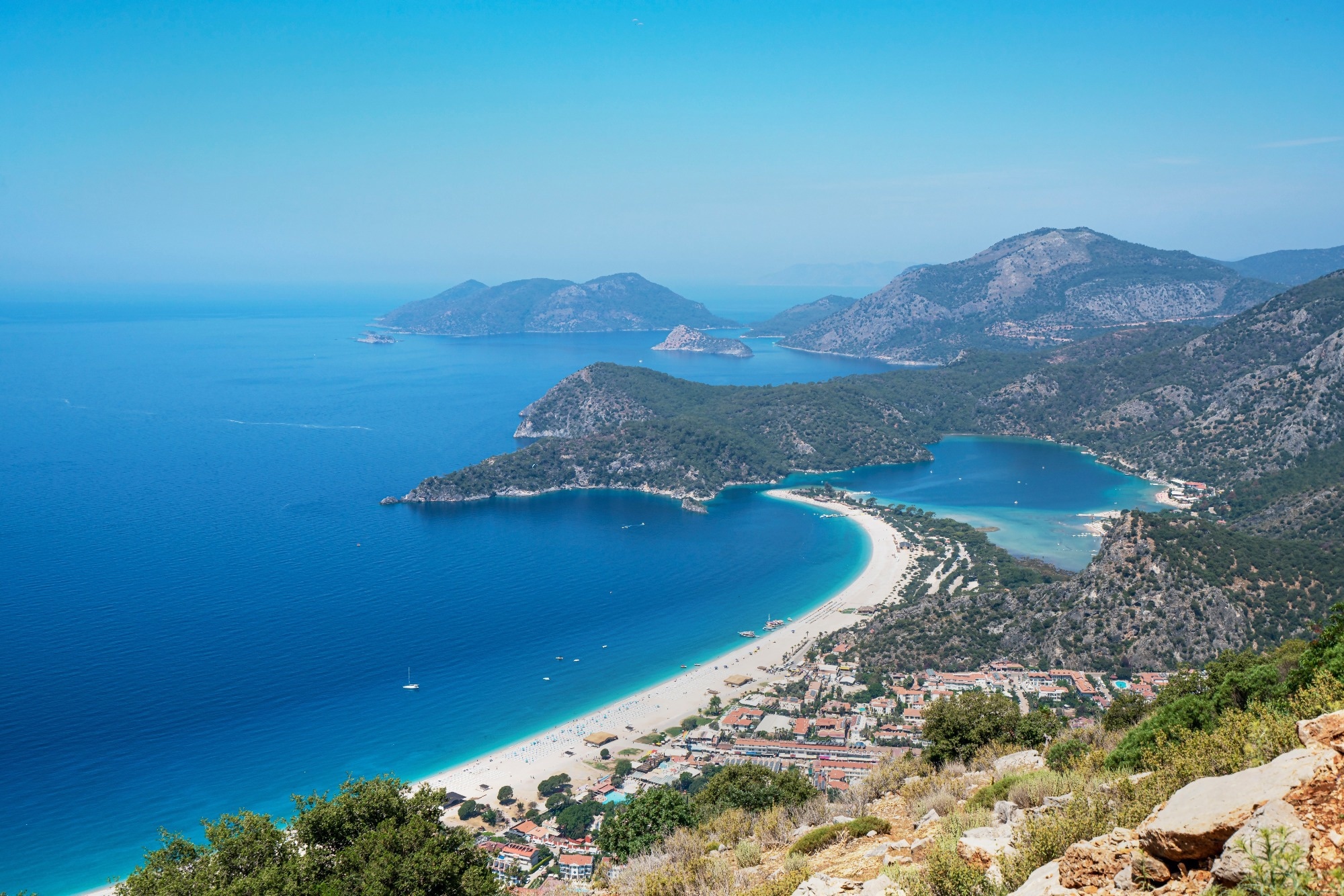 Study: Assessment of fire susceptibility in Wildland - Urban interfaces according to explainable artificial intelligence: a case study of Antalya province, Mediterranean region, Türkiye. Image Credit: Selcuk Oner/Shutterstock.com
By comparing a province-wide model with a Wildland-Urban Interface (WUI) model, the study revealed how climatic factors dominate at broader scales while human factors gain influence where settlements meet wildland vegetation. These findings were published in Scientific Reports.
Emerging Challenges in Wildfire Susceptibility
Climate change is increasingly altering fire regimes worldwide, with the Mediterranean basin identified as a hotspot where rising temperatures and prolonged droughts intensify wildfire risk.
Forest fires are becoming increasingly severe worldwide, prompting research into susceptibility mapping using tools like geographic information systems (GIS), remote sensing, and machine learning algorithms such as XGBoost, random forest, and support vector machines.
However, most existing studies rely on a limited set of 10 to 15 variables and typically assess susceptibility using a single model applied either province-wide or to WUI zones, not both.
This study addresses that gap by developing two distinct models, one covering the entire province and another focused on WUI areas, using an XAI framework with 33 remotely sensed and spatial variables, enabling a comparative analysis absent from previous research.
Study Design and Analytical Framework
The study was conducted in Antalya Province along Türkiye's southern Mediterranean coast, a region characterized by arid summers, mild wet winters, and rugged topography that creates localized microclimates influencing fire dynamics.
In recent decades, urban expansion into vegetated landscapes has created extensive WUI zones where human settlements sit in close proximity to combustible vegetation, heightening fire risk.
Download a free PDF copy of this page here.
The research followed a five-step workflow.
First, wildfire occurrence data was obtained from NASA’s Moderate Resolution Imaging Spectroradiometer (MODIS) active fire product, yielding 3531 active-fire detections between November 2000 and July 2025.
An equal number of non-fire points were randomly generated, resulting in a cleaned dataset of 6494 labeled samples. WUI zones were delineated using the European Space Agency (ESA) WorldCover dataset, defining them as wildland areas within a 2400 m buffer of built-up zones, a distance representing the maximum range at which firebrands can travel and ignite structures.
Filtering the full dataset to WUI boundaries produced a subset of 4688 points for focused analysis. A total of 33 conditioning factors spanning topography, vegetation, climate, and anthropogenic variables were assembled from satellite products, reanalysis datasets, and national institutions. All layers were resampled to a uniform 100 m spatial resolution.
Second, separate XGBoost models were trained for the province-wide and WUI extents using an 80/20 training-testing split, with the algorithm chosen for its robustness and built-in regularization against overfitting.
Third, model performance was evaluated using accuracy, precision, recall, F1 score, and area under the receiver operating characteristic curve (AUC-ROC) metrics. Fourth, SHAP analysis was applied to both models to interpret the contribution of each factor, producing summary plots and feature importance rankings.
Finally, the trained models generated continuous susceptibility maps predicting fire likelihood across the landscape.
Model Performance and Wildfire Susceptibility Patterns
Both models demonstrated strong predictive performance. The province-wide model achieved an accuracy of 0.844 and an AUC-ROC of 0.911, while the WUI model reached 0.826 and 0.891, respectively, with bootstrap validation confirming stable results across resampling iterations.
The slightly lower WUI performance reflects the greater complexity and heterogeneity of human-environment interface landscapes. SHAP analysis revealed that temperature and land surface temperature were the most influential drivers in both models, followed by precipitation, atmospheric pressure, and vegetation indices.
A key finding was that dense, healthy vegetation showed a negative relationship with fire susceptibility, consistent with the fuel moisture hypothesis, where thicker canopies sustain higher ground-level humidity, reducing surface fuel flammability.
In the provincial model, climatic and biophysical variables dominated susceptibility patterns, whereas in the WUI model, anthropogenic factors such as population density and proximity to infrastructure played a greater role alongside environmental drivers.
Both models classified approximately 14% of the study area as high or very high susceptibility, but the spatial distribution differed markedly. WUI risk was more tightly clustered around settlements, road networks, and urbanizing corridors.
The highest-risk zones were concentrated in coastal districts, where dense human activity, extensive transport networks, and highly flammable Mediterranean maquis vegetation coincide under prolonged summer drought.
These results confirm that wildfire susceptibility in Antalya emerges from coupled socio-ecological dynamics rather than natural processes alone, supporting multi-scale management strategies that integrate broad landscape planning with targeted WUI interventions.
Towards Integrated Wildfire Risk Management
This study demonstrates that wildfire susceptibility in Antalya is shaped by interacting climatic, ecological, and human factors, with drought-related variables such as temperature and land surface temperature dominating at broader scales while anthropogenic pressures intensify risk within WUI zones.
The dual-model XAI framework provides a transferable methodological approach for other Mediterranean regions facing similar fire risks. The findings support integrated management strategies that combine climate adaptation with land-use regulation, particularly around high-risk coastal districts where dense settlements, transport corridors, and flammable vegetation converge under prolonged summer drought.
Journal Reference
Coskun, M., Abujayyab, S.K.M., Canbulat, O. et al. (2026). Assessment of fire susceptibility in Wildland - Urban interfaces according to explainable artificial intelligence: a case study of Antalya province, Mediterranean region, Türkiye. Scientific Reports. DOI:10.1038/s41598-026-63526-8. https://www.nature.com/articles/s41598-026-63526-8.
Disclaimer: The views expressed here are those of the author expressed in their private capacity and do not necessarily represent the views of AZoM.com Limited T/A AZoNetwork the owner and operator of this website. This disclaimer forms part of the Terms and conditions of use of this website.